 and south (right) of the quarry, and the steps at the south of the walk are shown. Toxteth Park is to the right of the quarry with St James' Church towards the bottom right corner. A bowling green is also shown at the corner of the end of Rodney Street and the top of Duke Street.
Engraved by Thomas Conder. Published according to Act of Parliament, June 1st 1785, by C. Eyes, Liverpool and Sold by J. Johnson, St. Paul's Church-yard, London.")
)
)
)
)
)
)
)
1785 Map
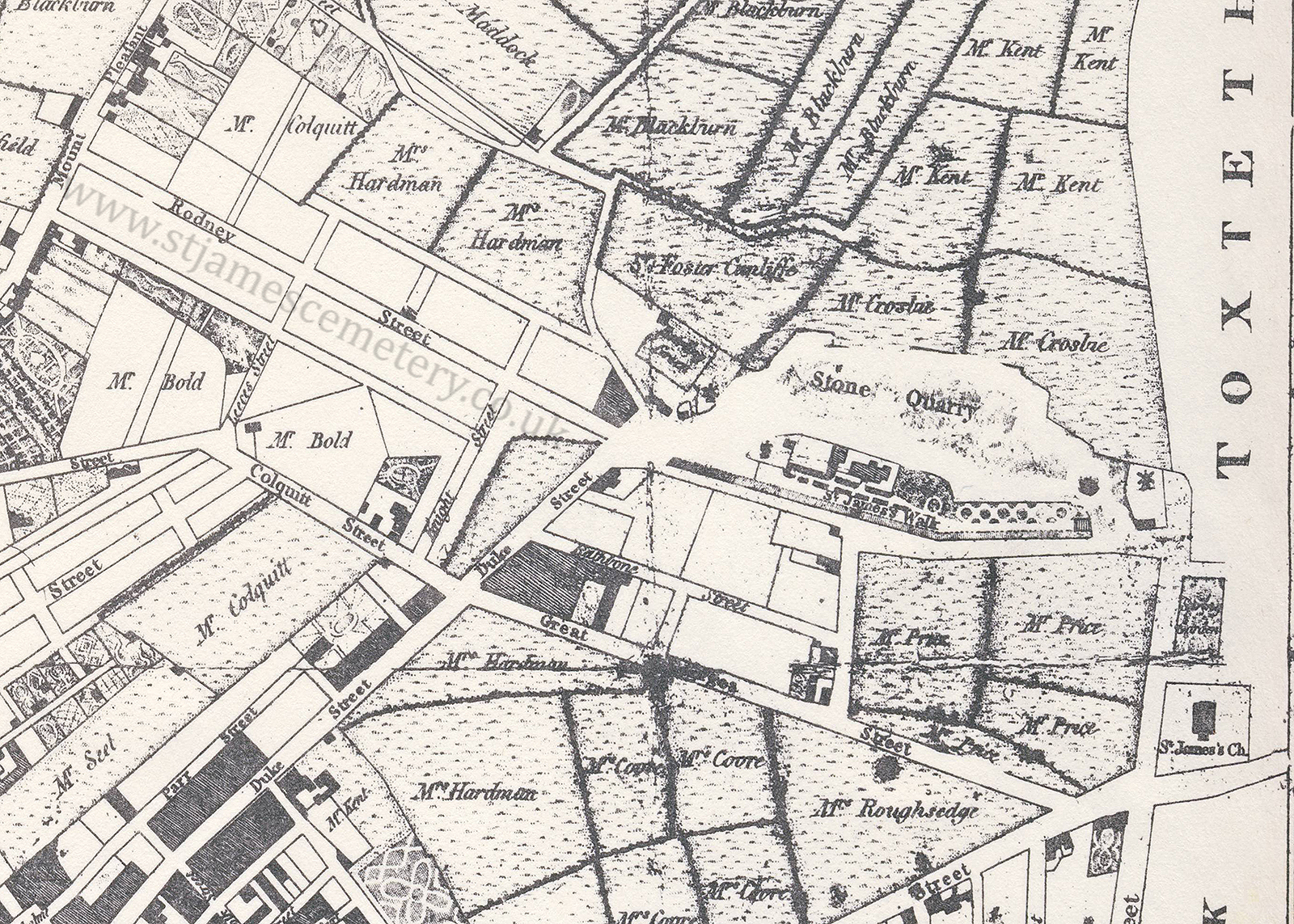
This map shows the stone quarry and St James' Walk and Mount. The two windmills are marked at the north (left) and south (right) of the quarry, and the steps at the south of the walk are shown. Toxteth Park is to the right of the quarry with St James' Church towards the bottom right corner. A bowling green is also shown at the corner of the end of Rodney Street and the top of Duke Street.
Engraved by Thomas Conder. Published according to Act of Parliament, June 1st 1785, by C. Eyes, Liverpool and Sold by J. Johnson, St. Paul's Church-yard, London.