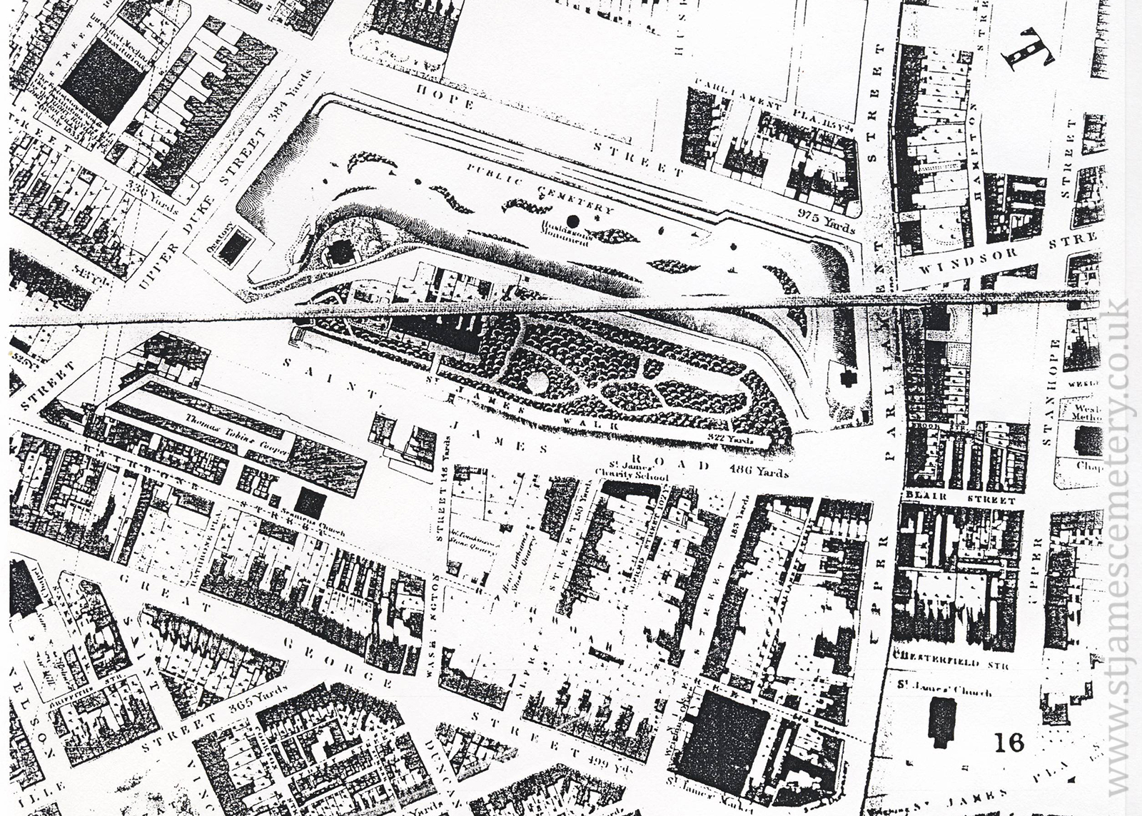
 of the cemetery and is measured as 975 yards. Upper Duke Street to the north (left) is 384 yards, and St. James' Road to the west (bottom) is 486 yards.")
)
)
)
)
)
)
)
1835 Map
Gage's 1835 map shows the layout of the cemetery, including the oratory, Huskisson's monument, minister's house, and lodge. The mount shows six buildings, and St James' Walk is marked as being 322 yards long. Hope Street extends along the east (top) of the cemetery and is measured as 975 yards. Upper Duke Street to the north (left) is 384 yards, and St. James' Road to the west (bottom) is 486 yards.