
)
)
)
)
)
)
)
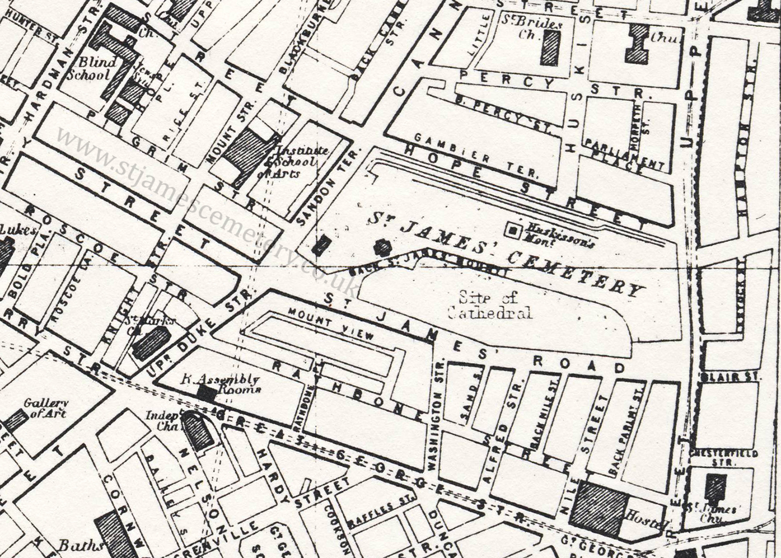
1906 Map
The map from the Ward Lock Travel Guide of 1906 shows that the mount and walk is now the site for the cathedral. The street dividing it from the cemetery is named Back St James' Mount and still shows a shape for the location of the minister's house. A shape is also shown for the oratory, and Huskisson's monument is labelled in the centre of the cemetery.